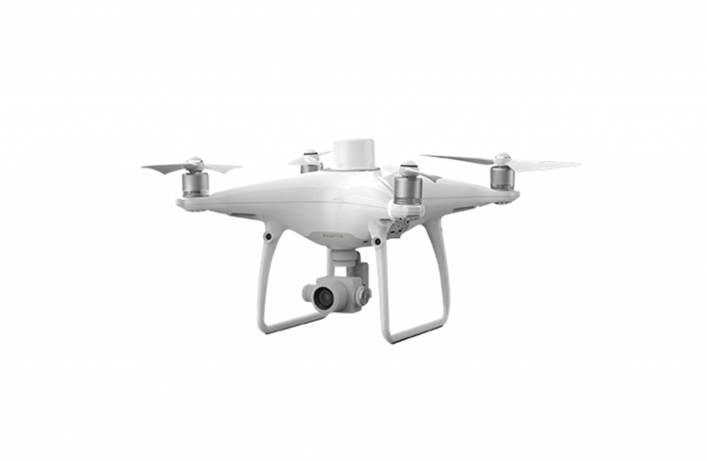
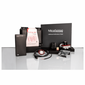
DJI’s most compact and accurate solution for low-altitude mapping.
The DJI Phantom 4 RTK will enhance your next mapping mission, being DJI’s most compact and accurate solution for low-altitude mapping. This drone has been designed for surveyors, offering several control modes and complementary technologies that can achieve professional survey results more efficiently than ever before.
Features:-
– New generation cartography
– Fully integrated RTK module for centimeter positioning
– TimeSync for continuous synchronisation between the flight controller, the camera and the RTK module
– 1″ 20 MP CMOS sensor
